
搜索结果: 1-15 共查到“测绘科学技术 Mapping”相关记录721条 . 查询时间(0.134 秒)
Ayman F.Habib教授作“Mobile Mapping Systems for Accurate Documentation of Transportation Corridors”报告(图)
Ayman F.Habib教授 土木工程学 数字摄影测量 美国摄影测量与遥感学会
2022/8/29
2021年12月23日上午,由测绘与空间信息学院主办的第11期智“绘”讲堂在第一会议室成功举办。本期智“绘”讲堂邀请到美国摄影测量与遥感学会(ASPRS)和加拿大地球空间信息学会(CIG)会员、美国普渡大学土木工程学院教授、数字摄影测量课题组组长、首席科学家Ayman F. Habib教授作了题为“Mobile Mapping Systems for Accurate Documentation ...

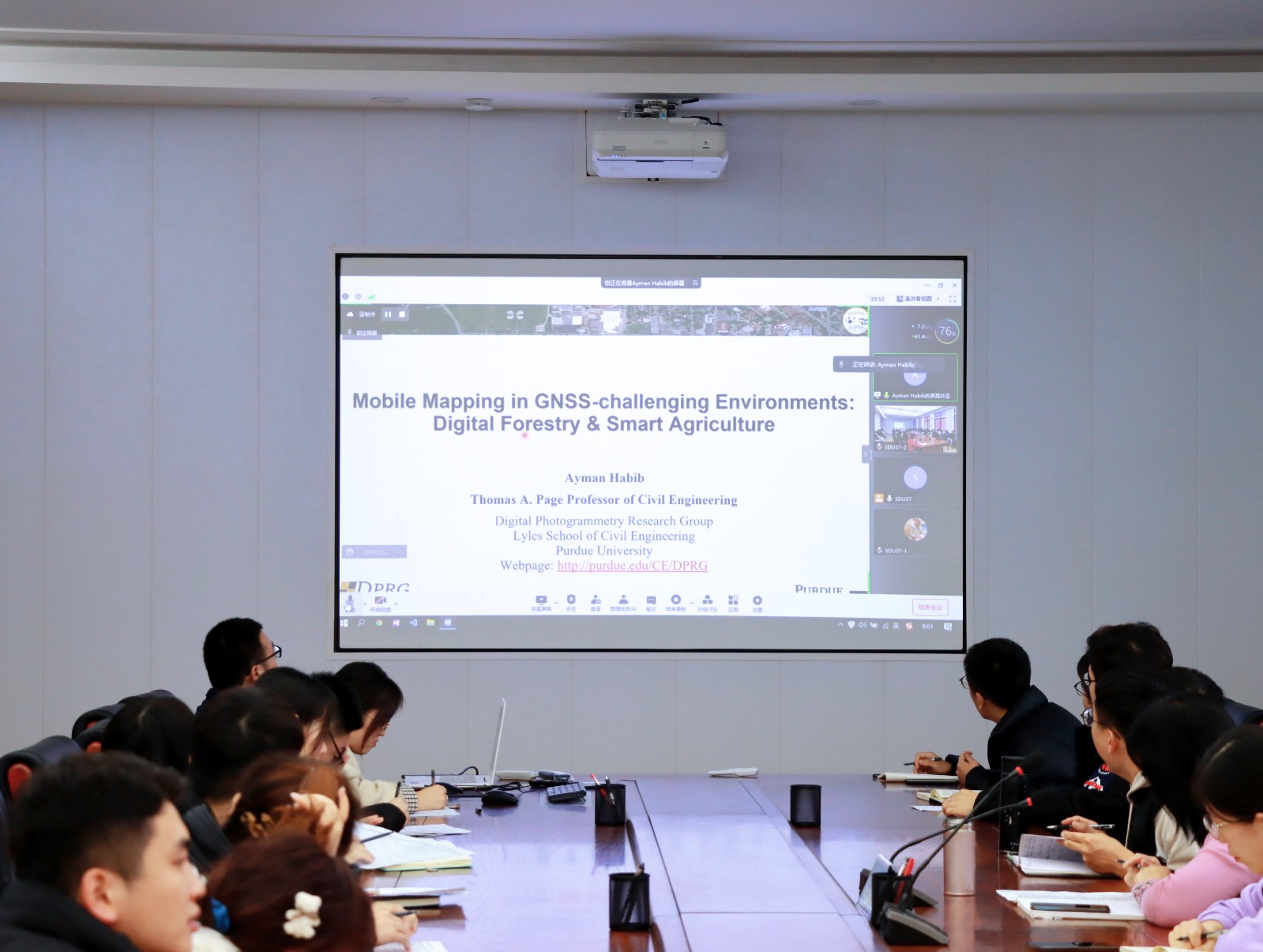
Ayman F. Habib 教授来山东科技大学测绘与空间信息学院作“Mobile Mapping Systems: Demonstrated Technology that Keeps Evolving”专题讲座(图)
山东科技大学测绘与空间信息学院 交通运输管理 遥感学会
2022/8/29
2021年12月17日上午,由测绘与空间信息学院主办的智“绘”讲堂在J6第一会议室和434报告厅成功举办。本期智“绘”讲堂邀请到美国摄影测量与遥感学会(ASPRS)和加拿大地球空间信息学会(CIG)会员、美国普渡大学土木工程学院教授、数字摄影测量课题组组长、首席科学家Ayman F. Habib教授作了题为“Mobile Mapping Systems: Demonstrated Technolo...
UAV PHOTOGRAMMETRY FOR CULTURAL HERITAGE PRESERVATION MODELING AND MAPPING VENETIAN WALLS OF BERGAMO
Venetian Fortress of Bergamo photogrammetric survey
2019/2/28
In July 2017, the system of Bergamo City Walls was registered in the UNESCO World Heritage List, together with other Venetian fortresses in Italy, Croatia and Montenegro. This important historical doc...
LANDSLIDE HAZARD ZONATION MAPPING OF CHAMOLI LANDSLIDES IN REMOTE SENSING AND GIS ENVIRONMENT
Landslides Chamoli Remote Sensing Hazard, Himalaya
2019/2/27
Landslides are very common problem in hilly terrain. Chamoli region of Himalaya is highest sensitive zone of the landslide hazards. The purpose of Chamoli landslide study, to observe the important ter...
MAPPING OF FOREST FIRE BURNED SEVERITY USING THE SENTINEL DATASETS
Sentinel Forest fire NBR dNBR RBR
2019/2/27
Forest fires are frequent phenomena in Uttarakhand Himalayas especially in the months of April to May, causing major loss of valuable forest products and impact on humans through the emissions and the...
PRELIMINARY INVESTIGATIONS ON FLOOD SUSCEPTIBILITY MAPPING IN ANKARA (TURKEY) USING MODIFIED ANALYTICAL HIERARCHY PROCESS (M-AHP)
Flood Mapping Susceptibility Hazard Risk Modified Analytical Hierarchy Process Ankara (Turkey)
2019/2/27
Susceptibility mapping for disasters is very important and provides the necessary means for efficient urban planning, such as site selection and the determination of the regulations, risk assessment a...
MAPPING OF STRIP FOREST IN ADAMPUR RANGE (HARYANA) A GEO-INFORMATICS APPROACH
Strip Forest Forest Mapping Social Forestry HRS - WV Smart GIS Decision Support System
2019/2/27
Haryana state is an intensively cultivated state, and deficient in natural forests. One of the mandate of Haryana Forest Department (HFD) is to afforest for maintenance of environmental stability and ...
MAPPING RICE CROPPING SYSTEM IN THE LOWER GANGETIC PLAIN USING LANDASAT 8 (OLI) AND MODIS IMAGERY
Department of Geography and Environment Vidyasagar University Midnapore India
2019/2/27
The Indo-Gangetic basin is one of the productive rice growing areas in South-East Asia. Within this extensive flat fertile land, lower Gangetic basin, especially the south Bengal, is most intensively ...
CONSIDERATIONS ON THE USE OF SENTINEL-1 DATA IN FLOOD MAPPING IN URBAN AREAS: ANKARA (TURKEY) 2018 FLOODS
Flood Mapping Hazard Risk Sentinel Ankara (Turkey)
2019/2/28
Flood events frequently occur due to -most probably- climate change on our planet in the recent years. Rapid urbanization also causes imperfections in city planning, such as insufficient consideration...
SEMI-AUTOMATED CEMETERY MAPPING USING SMARTPHONES
Cemetery Graves Smartphone mapping Geo-tagging OCR
2019/2/27
Cemeteries are being considered as a symbol of love, religion, and culture across the globe. The maps of cemetery and grave are the interest of individuals and communities, who wants to identify the r...
ASSIMILATING GEOSPATIAL METAMODEL AND INVENTORY MAPPING FOR NON-STRUCTURAL MITIGATION OF LANDSLIDE
metamodel, geospatial metamodel disaster management landslide landslide inventory mapping
2018/11/9
In Malaysia, issues related to disaster management are always given attention in society and by the responsible parties. However, in general, citizen do not think of the consequential impact of disast...
GEOSPATIAL APPROACH FOR LANDSLIDE ACTIVITY ASSESSMENT AND MAPPING BASED ON VEGETATION ANOMALIES
Tropical rain forest Landslide activity egetation anomalies
2018/11/9
Remote sensing has been widely used for landslide inventory mapping and monitoring. Landslide activity is one of the important parameters for landslide inventory and it can be strongly related to vege...
IMAGE CLASSIFICATION FOR MAPPING OIL PALM DISTRIBUTION VIA SUPPORT VECTOR MACHINE USING SCIKIT-LEARN MODULE
Landsat oil palm Python remote sensing Scikit-learn support vector machine
2018/11/9
The world has been alarmed with the global warming effects. Global warming has been a distress towards the environment, thus shorten the Earth’s lifespan. It is a challenging task to reduce the global...
EXTENDING INDOOR OPEN STREET MAPPING ENVIRONMENTS TO NAVIGABLE 3D CITYGML BUILDING MODELS: EMERGENCY RESPONSE ASSESSMENT
Emergency evacuation responses Digital data management
2018/11/9
Disaster scenarios in high-rise buildings such as the Address Downtown, Dubai or Grenfell Tower, London have showed ones again the importance of data information availability for emergency management ...
UAV PHOTOGRAMMETRY FOR FEATURE EXTRACTION AND MAPPING OF CORRUGATED INDUSTRIAL ROOFTOPS
photogrammetry UAV, drones solar panel point cloud corrugated roof
2018/11/9
Corrugated roof sheets used for large-scale industrial rooftops have the potential to carry solar panels. The sheets, however, need to be surveyed so that the solar panels can be installed according t...