
搜索结果: 1-15 共查到“摄影测量与遥感技术 systems”相关记录123条 . 查询时间(0.21 秒)
Ayman F.Habib教授作“Mobile Mapping Systems for Accurate Documentation of Transportation Corridors”报告(图)
Ayman F.Habib教授 土木工程学 数字摄影测量 美国摄影测量与遥感学会
2022/8/29
2021年12月23日上午,由测绘与空间信息学院主办的第11期智“绘”讲堂在第一会议室成功举办。本期智“绘”讲堂邀请到美国摄影测量与遥感学会(ASPRS)和加拿大地球空间信息学会(CIG)会员、美国普渡大学土木工程学院教授、数字摄影测量课题组组长、首席科学家Ayman F. Habib教授作了题为“Mobile Mapping Systems for Accurate Documentation ...

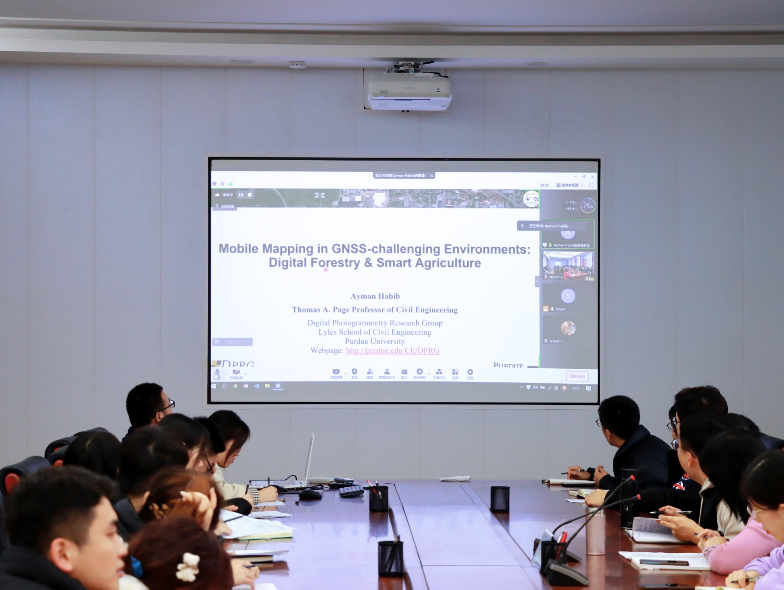
Ayman F. Habib 教授来山东科技大学测绘与空间信息学院作“Mobile Mapping Systems: Demonstrated Technology that Keeps Evolving”专题讲座(图)
山东科技大学测绘与空间信息学院 交通运输管理 遥感学会
2022/8/29
2021年12月17日上午,由测绘与空间信息学院主办的智“绘”讲堂在J6第一会议室和434报告厅成功举办。本期智“绘”讲堂邀请到美国摄影测量与遥感学会(ASPRS)和加拿大地球空间信息学会(CIG)会员、美国普渡大学土木工程学院教授、数字摄影测量课题组组长、首席科学家Ayman F. Habib教授作了题为“Mobile Mapping Systems: Demonstrated Technolo...
AN EFFICIENT METHOD TO CREATE DIGITAL TERRAIN MODELS FROM POINT CLOUDS COLLECTED BY MOBILE LiDAR SYSTEMS
Mobile systems point cloud Digital Terrain Models LiDAR Delaunay triangulation Laplacian operator
2017/7/12
The digital terrain models (DTM) assume an essential role in all types of road maintenance, water supply and sanitation projects. The demand of such information is more significant in developing count...
ON THE DESIGN OF HIGH RESOLUTION IMAGING SYSTEMS
Digital High resolution Sensor systems Satellite Modelling Design Space Technology
2017/7/12
The design of high-resolution systems is always a consideration of many parameters. Technological parameter of the imaging system, e.g. diameter of the imaging system, mass and power, as well as stora...
2017SPIE传感器,系统和下一代卫星专题会议(Sensors,Systems,and Next-Generation Satellites)
2017 SPIE 传感器,系统和下一代卫星 专题会议
2017/4/26
Many new remote sensing programs are under way throughout the world, in the U.S., Europe Japan, and elsewhere. NASA's Earth Science Division is developing and implementing a broad range of Earth space...
2017 SPIE 传感器,系统和下一代卫星专题会议(Sensors, Systems, and Next-Generation Satellites)
2017 SPIE 传感器 系统 下一代卫星 专题会议
2017/4/25
Many new remote sensing programs are under way throughout the world, in the U.S., Europe Japan, and elsewhere. NASA's Earth Science Division is developing and implementing a broad range of Earth space...
MODELLING LANDSCAPE MORPHODYNAMICS BY TERRESTRIAL PHOTOGRAMMETRY:AN APPLICATION TO BEACH AND FLUVIAL SYSTEMS
Monitoring Terrestrial photogrammetry 3D point cloud Morphological changes Digital Elevation Model (DEM) Structure-from-Motion (SfM)
2016/12/1
Beach and fluvial systems are highly dynamic environments, being constantly modified by the action of different natural and anthropic phenomena. To understand their behaviour and to support a sustaina...
COMPARISON OF UNCALIBRATED RGBVI WITH SPECTROMETER-BASED NDVI DERIVED FROM UAV SENSING SYSTEMS ON FIELD SCALE
Remote Sensing UAV agriculture Yara N-Sensor winter wheat nitrogen vegetation index hyperspectral RGB
2016/12/1
The development of UAV-based sensing systems for agronomic applications serves the improvement of crop management. The latter is in the focus of precision agriculture which intends to optimize yield, ...
FUSION OF LASER ALTIMETRY DATA WITH DEMS DERIVED FROM STEREO IMAGING SYSTEMS
Ice Sheet Surface Elevation Changes Fusion System Mass Balance Changes
2016/11/30
During the last two decades surface elevation data have been gathered over the Greenland Ice Sheet (GrIS) from a variety of different sensors including spaceborne and airborne laser altimetry, such as...
ALGORITHMS FOR RELATIVE RADIOMETRIC CORRECTION IN EARTH OBSERVING SYSTEMS “RESOURCE-P” AND “CANOPUS-V”
Pushbroom And Matrix Imagery Instruments Relative Radiometric Correction Reference Calibration Images
2016/11/15
The present paper has considered two algorithms of the relative radiometric correction of information obtained from a multimatrix imagery instrument of the spacecraft “Resource-P” and frame imagery sy...
Toward an Automatic Calibration of Dual Fluoroscopy Imaging Systems
Dual Fluoroscopy Biplanar Videoradiography Photogrammetric Calibration Target Extraction
2016/11/11
High-speed dual fluoroscopy (DF) imaging provides a novel, in-vivo solution to quantify the six-degree-of-freedom skeletal kinematics of humans and animals with sub-millimetre accuracy and high tempor...
COMPARATIVE GEOMETRICAL INVESTIGATIONS OF HAND-HELD SCANNING SYSTEMS
3D comparison image matching mesh modelling point cloud sensor structure-from-motion structured light
2016/11/11
An increasing number of hand-held scanning systems by different manufacturers are becoming available on the market. However, their geometrical performance is little-known to many users. Therefore the ...
COMPLEMENTARITY OF HISTORIC BUILDING INFORMATION MODELLING AND GEOGRAPHIC INFORMATION SYSTEMS
Cultural Heritage Historic Building Information Modelling 3D Models Parametric Objects Geometric Modelling Library Level of Details
2016/11/11
In this paper, we discuss the potential of integrating both semantically rich models from Building Information Modelling (BIM) and Geographical Information Systems (GIS) to build the detailed 3D histo...
INFLUENCE OF RAW IMAGE PREPROCESSING AND OTHER SELECTED PROCESSES ON ACCURACY OF CLOSE-RANGE PHOTOGRAMMETRIC SYSTEMS ACCORDING TO VDI 2634
Photogrammetry Image processing Circular targets Accuracy Precision Stability Camera calibration
2016/11/11
This paper examines the influence of raw image preprocessing and other selected processes on the accuracy of close-range photogrammetric measurement. The examined processes and features includes: raw ...
THE GENERATION OF BUILDING FLOOR PLANS USING PORTABLE AND UNMANNED AERIAL VEHICLE MAPPING SYSTEMS
Location-Based Services (LBS) Floor Plan Robot Mapping Unmanned Aerial Vehicles (UAV) Portable Mapping System Map Rectification Geo-referenced
2016/11/8
Indoor navigation or positioning systems have been widely developed for Location-Based Services (LBS) applications and they come along with a keen demand of indoor floor plans for displaying results e...