
搜索结果: 1-15 共查到“工学 Block”相关记录96条 . 查询时间(0.239 秒)
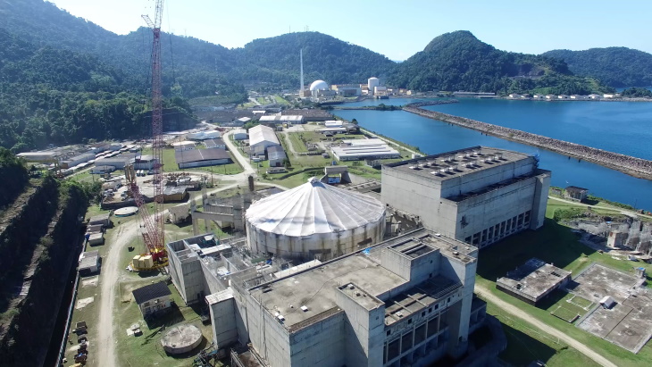
Eletronuclear said it was seeking a "constructive dialogue" with the municipal government after it was ordered to stop work on Angra 3 - a unit whose construction only resumed in November after a seve...
COMPARISON OF THE LINEAR AND THE NON-LINEAR BLOCK ADJUSTMENT ON SATELLITE IMAGES RESEARCH
Linear Least square method Non-Linear Least square method error equation Block adjustment Rational Function Model High-resolution Satellite images
2018/5/14
The Rational Function Model (RFM) is a non-linear model. Usually, the RFM-based satellite image block adjustment uses the Taylor series to expand error equations, and then solves the linear model. The...
RESEARCH ON DISASTER EARLY WARNING AND DISASTER RELIEF INTEGRATED SERVICE SYSTEM BASED ON BLOCK DATA THEORY
Block data Disaster Early Warning Emergency Relief Data Fusion Service Aggregation TIANDITU (MapWorld)
2018/5/16
With the continuous development of social economy, the interaction between mankind and nature has become increasingly evident. Disastrous global catastrophes have occurred from time to time, causing h...
THE RESEARCH AND EVALUATION OF ROAD ENVIRONMENT IN THE BLOCK OF CITY BASED ON 3-D STREETSCAPE DATA
3D streetscape data block unit urban assessment model street environment traffic environment urban plan
2018/5/14
This paper focus on the problem of the street environment of block unit, based on making clear the acquisition mode and characteristics of 3D streetscape data,the paper designs the assessment model of...
BLOCK ADJUSTMENT AND IMAGE MATCHING OF WORLDVIEW-3 STEREO PAIRS AND ACCURACY EVALUATION
WorldView-3 RPC Block Adjustment Model DSM Image Matching
2018/5/17
WorldView-3, as a high-resolution commercial earth observation satellite, which is launched by Digital Global, provides panchromatic imagery of 0.31 m resolution. The positioning accuracy is les...
EVALUATION OF PHOTOGRAMMETRIC BLOCK ORIENTATION USING QUALITY DESCRIPTORS FROM STATISTICALLY FILTERED TIE POINTS
Close range Photogrammetry Block orientation Tie points extraction Open source Data quality assessment
2018/6/4
Due to the increasing number of low-cost sensors, widely accessible on the market, and because of the supposed granted correctness of the semi-automatic workflow for 3D reconstruction, highly implemen...
CAPTURING REALITY AT CENTRE BLOCK
Structure from Motion (SFM) Photogrammetry Photographic Lighting Close-Range Photogrammetry Terrestrial Laser Scanning Heritage Documentation Building Information Model
2017/8/30
The Centre Block of Canada’s Parliament buildings, National Historic Site of Canada is set to undergo a major rehabilitation project that will take approximately 10 years to complete. In preparation f...
New Mechanical Metamaterials Can Block Symmetry of Motion,Findings Suggest
New Mechanical Metamaterials Block Symmetry of Motion
2017/3/13
Engineers and scientists at The University of Texas at Austin and the AMOLF institute in the Netherlands have invented the first mechanical metamaterials that easily transfer motion effortlessly in on...
THE OPTIMIZED BLOCK-REGRESSION-BASED FUSION ALGORITHM FOR PANSHARPENING OF VERY HIGH RESOLUTION SATELLITE IMAGERY
Remote sensing Satellite imagery Very high resolution Image fusion
2016/11/24
Pan-sharpening of very high resolution remotely sensed imagery need enhancing spatial details while preserving spectral characteristics, and adjusting the sharpened results to realize the different em...
BASELINE ESTIMATION ALGORITHM WITH BLOCK ADJUSTMENT FOR MULTI-PASS DUAL-ANTENNA INSAR
InSAR Baseline Estimation Phase Offset Block Adjustment Tie Point Ground Control Point
2016/11/23
Baseline parameters and interferometric phase offset need to be estimated accurately, for they are key parameters in processing of InSAR (Interferometric Synthetic Aperture Radar). If adopting baselin...
SCHOOL MAPPING AND GEOSPATIAL ANALYSIS OF THE SCHOOLS IN JASRA DEVELOPMENT BLOCK OF INDIA
School Mapping Catchment GIS
2016/7/8
GIS is a collection of tools and techniques that works on the geospatial data and is used in the analysis and decision making. Education is an inherent part of any civil society. Proper educational fa...
TANDEM-X: Block Adjustment of Interferometric Height Models
TanDEM-X InSAR block adjustment method DEM/DTM error calibration
2016/1/25
The TanDEM-X mission will derive a global digital elevation model (DEM) with satellite SAR interferometry. The aimed accuracies are an absolute, resp. relative height error of 10m resp. 2m for 90% of ...
Fusion of GIS and Statistical Features of Satellite SAR Images for Earthquake Damage Mapping At the Block Scale
Earthquake Damage Mapping SAR Urban Remote Sensing
2015/12/18
This work shows that multitemporal SAR data allows mapping earthquake damage in urban areas with an acceptable accuracy, once some ancillary information defining urban blocks is available. A statistic...
Radiometric Block-Adjustment of Satellite Images Reference3d® Production Line Improvement
SPOT Radiometry Mosaic Block Multitemporal Orthoimage
2015/12/16
One layer of global geographic database Reference3D® is an image mosaic (5m resolution) made exclusively from panchromatic SPOT5-HRS images. In order to improve Reference3D® production line,...
Rasterizing Airborne Laser Scanning Point Clouds by Block Kriging
Airborne laser scanning Point clouds Rasterization Block Kriging Geostatistics
2015/12/9
Airborne laser scanning (ALS) is increasingly becoming a standard method for the collection of dense elevation models, especially in 3D urban mapping. However, automation in processing of ALS point-cl...