
搜索结果: 1-2 共查到“国际动态 测绘科学技术 MAP”相关记录2条 . 查询时间(0.352 秒)
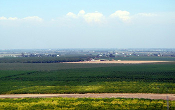
Researchers use satellite imaging to map groundwater use in California's Central Valley(图)
satellite imaging map groundwater California Central Valley
2020/10/16
Researchers at the University of California, San Diego report a new way to improve groundwater monitoring by using a remote sensing technology, known as InSAR (interferometric synthetic aper...
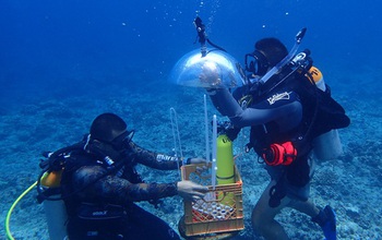
In Guam, researchers developed a method for mapping underwater areas that is transforming how oceanographers observe the seafloor. Data from global positioning satellites are the primary method for ma...